

Estimating vehicle trips at mixed-use developments can be challenging. Most traditional trip generation rates are based on single-use suburban sites and don’t account for how people actually travel in mixed-use developments (MXD), where trips can happen internally or by walking, biking, or transit.
This white paper presents how we recalibrated and validated our MXD tool to reflect 2019 travel conditions. The update incorporates changes in travel behavior over the past decade, including the rise of ride-hailing services, e-commerce, telecommuting, and micromobility.
Using observed traffic data from mixed-use sites across the US, the updated MXD model produces more accurate estimates of daily and peak-hour vehicle trips, helping planners and communities better evaluate the transportation impacts of mixed-use developments.
Ready to read the white paper? Click the button below to access.
share this article
Contributor

John Gard
Principal
Email Me
Explore More

Driving Less Starts with Building Differently
How much can planning decisions actually reduce driving? Our latest research introduces a statistical model that links built environment choices—such as density, transit service, walkability, and land use mix—to vehicle miles traveled (VMT). The findings give planners and policymakers practical, evidence-based tools to evaluate scenarios, understand tradeoffs, and make more informed transportation and land use decisions.
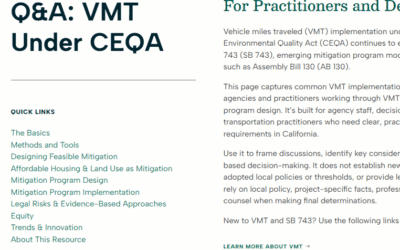
Navigating VMT Under CEQA
VMT under CEQA continues to evolve as agencies, practitioners, and decision makers work through analysis methods, mitigation feasibility, and defensible evidence. Our new Q&A resource offers practical answers on vehicle miles traveled, SB 743, mitigation program design, implementation, administration, and legal and strategic considerations.
Demand Management Is Injury Prevention
New research shows that reducing driving exposure may be one of the most powerful safety strategies available. The findings connect VMT, mode share, and travel time to fatality rates, reframing demand management as injury prevention.