Get a First Look at the Generative AI Policy Starter Kit
We helped develop a new Generative AI Policy Starter Kit through ITE. Explore the Quick Bite and ITE Journal article now, and stay tuned for the full kit.

We helped develop a new Generative AI Policy Starter Kit through ITE. Explore the Quick Bite and ITE Journal article now, and stay tuned for the full kit.
This ITE Technical brief explores how kinetic energy can add another dimension to roadway safety analysis, helping practitioners consider where conditions for serious harm may exist even before severe crash patterns emerge.

Making streets safer takes more than individual projects. Our new Safe System approach toolkit, developed through NCHRP Research Report 1181, helps agencies integrate safety into policies, budgets, design standards, and land use decisions. Explore practical tools, real-world case studies, and new IIHS Safe System success stories that show how agencies are turning safety into standard practice.

How much can planning decisions actually reduce driving? Our latest research introduces a statistical model that links built environment choices—such as density, transit service, walkability, and land use mix—to vehicle miles traveled (VMT). The findings give planners and policymakers practical, evidence-based tools to evaluate scenarios, understand tradeoffs, and make more informed transportation and land use decisions.
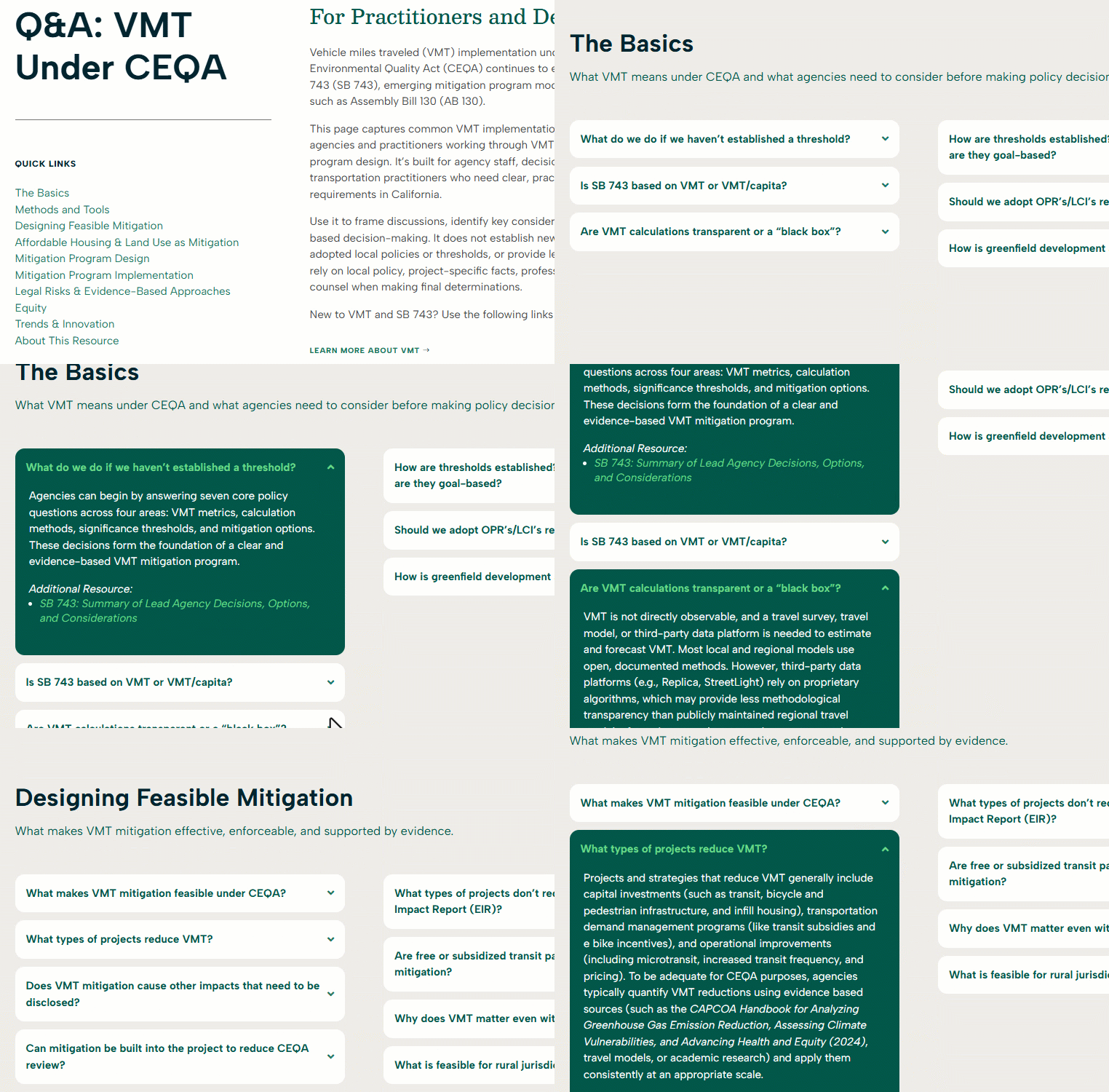
VMT under CEQA continues to evolve as agencies, practitioners, and decision makers work through analysis methods, mitigation feasibility, and defensible evidence. Our new Q&A resource offers practical answers on vehicle miles traveled, SB 743, mitigation program design, implementation, administration, and legal and strategic considerations.
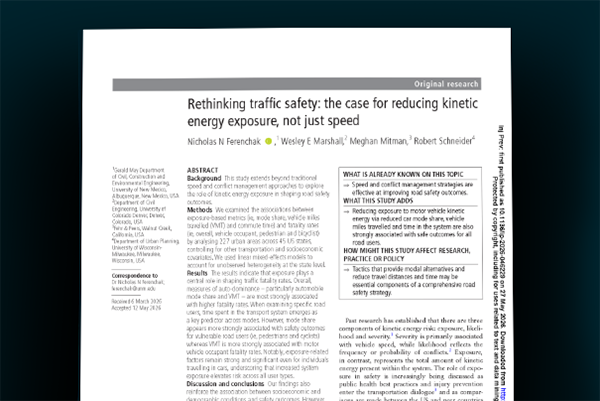
New research shows that reducing driving exposure may be one of the most powerful safety strategies available. The findings connect VMT, mode share, and travel time to fatality rates, reframing demand management as injury prevention.