
The Road Less Traveled

The Road Less Traveled
Working with rural communities, we understand the need for cost-effective approaches to address transportation analysis requirements while complying with legal and technical expectations, such as the California Environmental Quality Act (CEQA). Recent CEQA changes have expanded expectations for transportation analysis related to wildfire evacuation and vehicle miles of travel (VMT). These are challenging subjects to analyze for any agency, and even more so, for those without advanced data, the models needed, or the specialized expertise to apply them.
So, how can rural agencies close the gap between the new transportation planning expectations and their resource reality?
Fehr & Peers aims to remove the anxiety and complexity from the analysis, and instead offer simple, effective, and scalable solutions for practitioners working in rural communities. As such, we have prepared the following cost-effective web resources for rural planning.
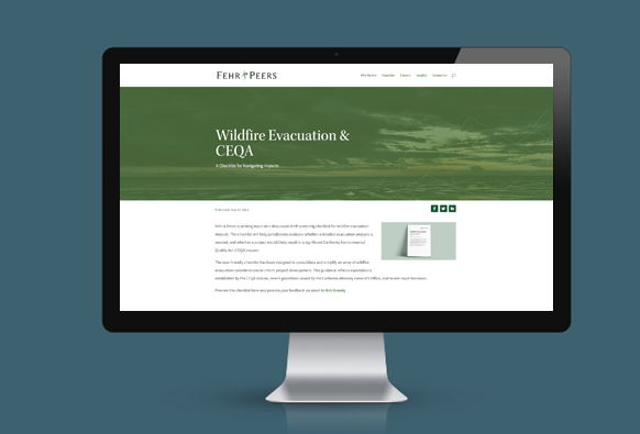
Evacuation Analysis
Wildfire Evacuation Impact Checklist
| Description | Beginning with a straightforward checklist, this resource hones in on the most critical questions and evidence needed for an evacuation analysis. |
| Cost | Free |
| Set Up Time | Ready for immediate use |
| Agency Investment | Typically 2-4 hours of staff time |
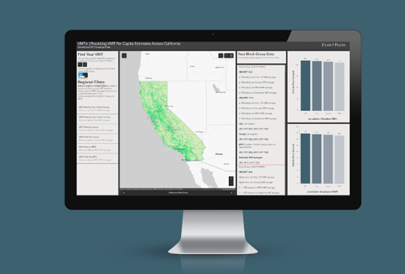
VMT Analysis
VMTIndex
| Description | This ArcGIS map-based tool finds VMT for community or project scale impact screenings and assessments using big data from Fehr & Peers/StreetLight. |
| Cost | Free |
| Set Up Time | Ready for immediate use |
| Agency Investment | Typically 2-4 hours of staff time |
To get started, reach out to our experts below.
share this article
Contributors

Ian Barnes
Principal
PE
Email Me

Jason Pack
Principal
TE
Email Me

Ron Milam
Forecasting Practice Leader
AICP, PTP
Email Me

Chelsea Richer
Principal
AICP
Email Me

Explore More

Get a First Look at the Generative AI Policy Starter Kit
We helped develop a new Generative AI Policy Starter Kit through ITE. Explore the Quick Bite and ITE Journal article now, and stay tuned for the full kit.
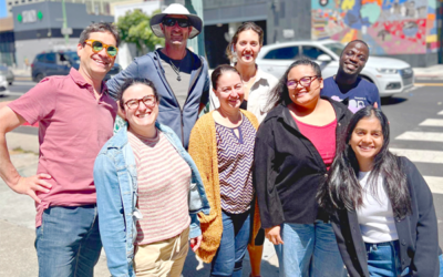
Intern Perspectives: A Summer in Transportation
What does a transportation internship actually look like? This summer, 25 interns across 14 of our offices gained hands-on experience with fieldwork, street design, GIS, data analysis, visual communication, client work, and community engagement. See what they learned, what surprised them, and how the experience shaped the way they think about careers in transportation.
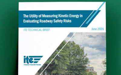
Looking at Street Safety Through the Lens of Kinetic Energy
This ITE Technical brief explores how kinetic energy can add another dimension to roadway safety analysis, helping practitioners consider where conditions for serious harm may exist even before severe crash patterns emerge.