
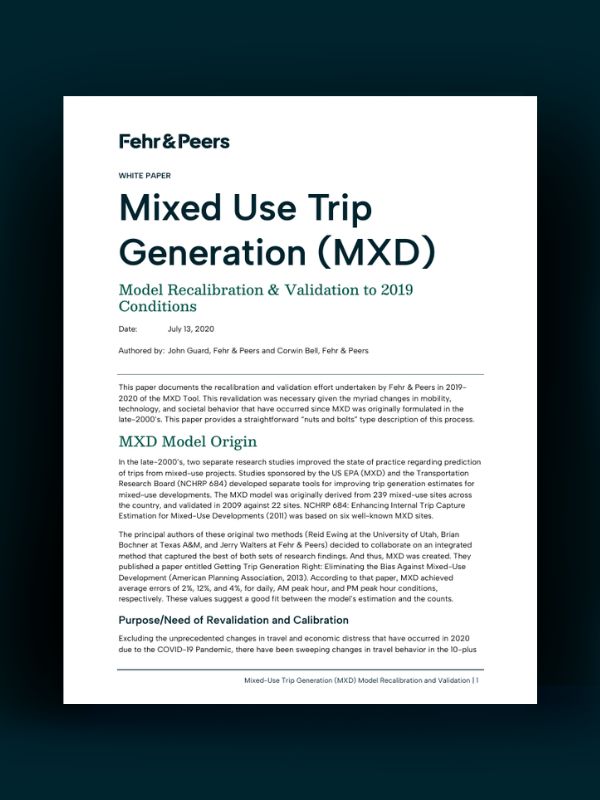
Estimating vehicle trips at mixed-use developments can be challenging. Most traditional trip generation rates are based on single-use suburban sites and don’t account for how people actually travel in mixed-use developments (MXD), where trips can happen internally or by walking, biking, or transit.
This white paper presents how we recalibrated and validated our MXD tool to reflect 2019 travel conditions. The update incorporates changes in travel behavior over the past decade, including the rise of ride-hailing services, e-commerce, telecommuting, and micromobility.
Using observed traffic data from mixed-use sites across the US, the updated MXD model produces more accurate estimates of daily and peak-hour vehicle trips, helping planners and communities better evaluate the transportation impacts of mixed-use developments.
Ready to read the white paper? Click the button below to access.
share this article
Contributor

John Gard
Principal
Email Me
Explore More
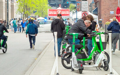
A Design Win for Seattle Sidewalks
Micromobility is growing, but when scooters and bikes have nowhere obvious to park, sidewalks suffer. Seattle tackled this with quick-build corrals, using simple outlines to guide parking right away, then upgrading to durable markings and in-street designs. See how we helped screen sites, refine locations in the field, and scale for daily use and major events.

Jason Xu Joins Fehr & Peers
Meet Jason Xu and his approach to improving transportation operations, signal systems, and corridor coordination.
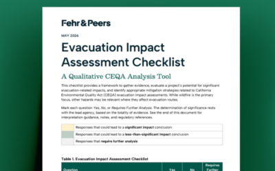
Evacuation Impact Assessment Checklist
Recent California decisions and the Attorney General’s 2022 guidance have raised expectations for how CEQA documents address evacuation. Our Evacuation Impact Assessment Checklist is a qualitative analysis tool that helps teams organize evidence, screen for potential impacts, and reach a defensible conclusion faster, so time and effort can shift from extensive quantification to identifying mitigation and evacuation improvements.