
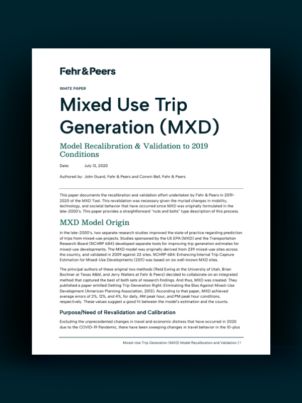
Estimating vehicle trips at mixed-use developments can be challenging. Most traditional trip generation rates are based on single-use suburban sites and don’t account for how people actually travel in mixed-use developments (MXD), where trips can happen internally or by walking, biking, or transit.
This white paper presents how we recalibrated and validated our MXD tool to reflect 2019 travel conditions. The update incorporates changes in travel behavior over the past decade, including the rise of ride-hailing services, e-commerce, telecommuting, and micromobility.
Using observed traffic data from mixed-use sites across the US, the updated MXD model produces more accurate estimates of daily and peak-hour vehicle trips, helping planners and communities better evaluate the transportation impacts of mixed-use developments.
Ready to read the white paper? Click the button below to access.
share this article
Contributor

John Gard
Principal
Email Me
Explore More

Marissa Aho Joins Fehr & Peers
As climate risk reshapes transportation planning, public agencies need strategies that connect resilience with everyday investment decisions. Marissa Aho, FAICP, brings decades of experience helping cities and regions turn climate risk into practical, fundable actions. Learn how her leadership expands our climate adaptation and resilience practice and strengthens the support we provide to communities.

2026 Staff Promotions
Join us in congratulating the 167 team members who earned promotions for their outstanding contributions this year.
Driving Less Starts with Building Differently
How much can planning decisions actually reduce driving? Our latest research introduces a statistical model that links built environment choices—such as density, transit service, walkability, and land use mix—to vehicle miles traveled (VMT). The findings give planners and policymakers practical, evidence-based tools to evaluate scenarios, understand tradeoffs, and make more informed transportation and land use decisions.