
Stacking Benefits: The Role of Land Conservation in VMT Mitigation
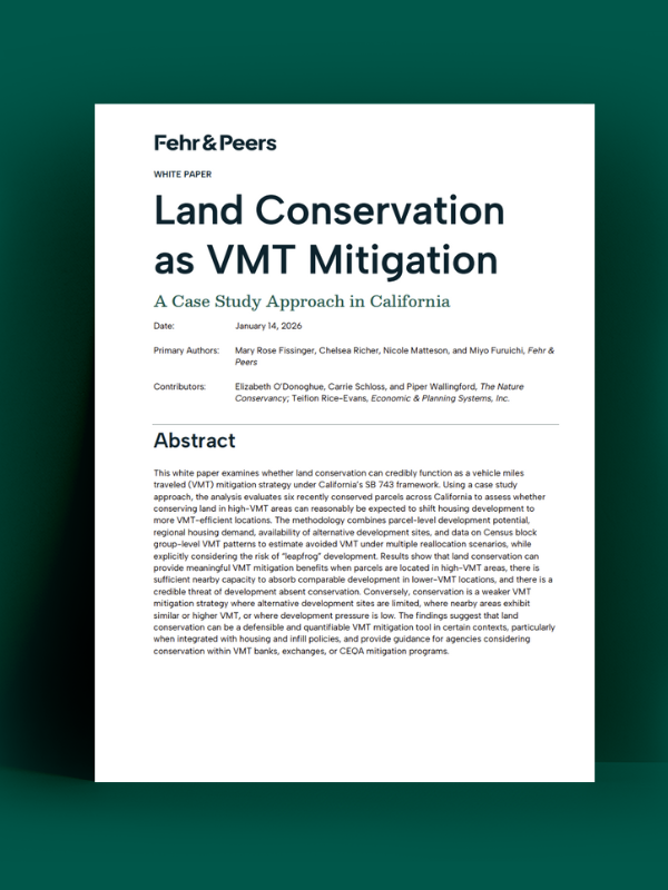
Stacking Benefits: The Role of Land Conservation in VMT Mitigation
This work builds on our previous collaboration with The Nature Conservancy that explored how vehicle miles traveled (VMT) mitigation programs can help protect natural resources and wildlife in Western Riverside County.
This latest phase takes the analysis statewide, looking at how real-world factors like development pressure, nearby housing capacity, and the risk of “leapfrog” development affect the potential for VMT mitigation in different contexts.
The goal was to understand whether protecting and conserving land that might otherwise be developed can reduce driving, measure how much it reduces driving, and identify when this approach can count as a defensible mitigation strategy under CEQA and Senate Bill 743.
What we found was nuanced. Land conservation can help avoid or reduce VMT over time, but not always. There must be a realistic chance that the conserved land would have been developed, and that the development that would have occurred there could instead be built in a lower-VMT area. There’s still a lot to learn about how statewide policies promoting infill development will play out, and what that means for using land conservation as a VMT mitigation strategy.
Read the full white paper to learn where this approach works best, what questions to ask early, and how today’s land use decisions can shape travel patterns for years to come.
share this article
Contributors

Mary Rose Fissinger
Email Me

Chelsea Richer
Climate & Resilience Discipline Leader
AICP
Email Me

Nicole Matteson
Engineer/Planner
Email Me

Miyo Furuichi
Engineer/Planner
Email Me
Explore More

Cathleen Sullivan Joins Fehr & Peers
Our new Principal Cathleen Sullivan brings a practical, people-centered approach to transit and multimodal planning, helping Bay Area agencies turn complex ideas into progress.

Get a First Look at the Generative AI Policy Starter Kit
We helped develop a new Generative AI Policy Starter Kit through ITE. Explore the Quick Bite and ITE Journal article now, and stay tuned for the full kit.
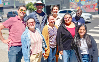
Intern Perspectives: A Summer in Transportation
What does a transportation internship actually look like? This summer, 25 interns across 14 of our offices gained hands-on experience with fieldwork, street design, GIS, data analysis, visual communication, client work, and community engagement. See what they learned, what surprised them, and how the experience shaped the way they think about careers in transportation.