
VMTIndex Now Reaches Communities Nationwide

We’re excited to announce that VMTIndex is now available in many of the cities and counties we serve across the US, expanding access to our vehicle miles traveled (VMT) analysis tool beyond California.
Formerly known as VMT+, VMTIndex provides real-world travel data at the Census Block Group level. This web-based dashboard gives transportation professionals local insights to better analyze travel patterns and assess VMT impacts. Newer datasets are also available through our consulting services.
Try VMTIndex for Yourself
Experience VMTIndex firsthand. Visit the Find Your VMT page to explore the tool and see how it can support your projects.
Have questions or need help assessing VMT impacts in your area? Contact our team to learn more.
share this article
Explore More

A Design Win for Seattle Sidewalks
Micromobility is growing, but when scooters and bikes have nowhere obvious to park, sidewalks suffer. Seattle tackled this with quick-build corrals, using simple outlines to guide parking right away, then upgrading to durable markings and in-street designs. See how we helped screen sites, refine locations in the field, and scale for daily use and major events.

Jason Xu Joins Fehr & Peers
Meet Jason Xu and his approach to improving transportation operations, signal systems, and corridor coordination.
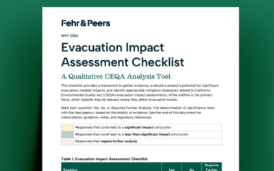
Evacuation Impact Assessment Checklist
Recent California decisions and the Attorney General’s 2022 guidance have raised expectations for how CEQA documents address evacuation. Our Evacuation Impact Assessment Checklist is a qualitative analysis tool that helps teams organize evidence, screen for potential impacts, and reach a defensible conclusion faster, so time and effort can shift from extensive quantification to identifying mitigation and evacuation improvements.