
Rethinking Street Design for Safety and Emergency Access

Rethinking Street Design for Safety and Emergency Access
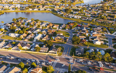
Cities want neighborhood streets that are safe, livable, and ready for emergencies. But in practice, those priorities don’t always align. Rigid standards and siloed decision-making can push communities toward wider streets that increase speeds, raise long-term costs, and limit space for housing and neighborhood amenities.
This February 2026 ITE Journal article, “Safer Streets Through Abundance: Aligning Fire Codes, Safety, and Community Goals,” looks at a different path forward: connected street networks that give emergency responders multiple routes, and early collaboration between fire, transportation, planning, and public health teams.
When departments work together from the start, communities can move beyond one-size-fits-all standards and design residential streets that support both emergency response and everyday safety.
Contact us to explore how your community can balance emergency access with safer, more sustainable neighborhood design.
share this article
Contributor

Matt Goyne
Principal
Email Me
Explore More
Travel Access as a Key to Equitable Planning
Analyzing travel accessibility measures how well current transportation networks connect us to destinations and exposes potential modal or equity limitations that may be causing difficulties for some users or geographic areas. Learn more and explore our travel access video.
Model Assessment Criteria for CEQA
Agencies should evaluate their models to ensure they provide reliable forecasts and meet CEQA standards for environmental impact analyses.
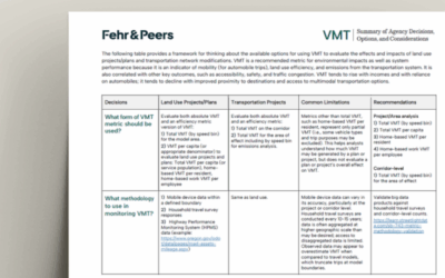
VMT Agency Decision Matrix
This guide helps agencies choose the right methods and tools to measure Vehicle Miles Traveled (VMT) for land use and transportation projects, supporting compliance with California’s SB 743.