
Meeting the Deadline Isn’t the Same as Solving the Problem
New state mandates are putting cities on the clock for freight.
Meeting the Deadline Isn’t the Same as Solving the Problem
The agencies getting ahead are rethinking their truck networks with new data and community input, not just meeting the deadline.
Freight Outgrew the Tools Built to Manage It
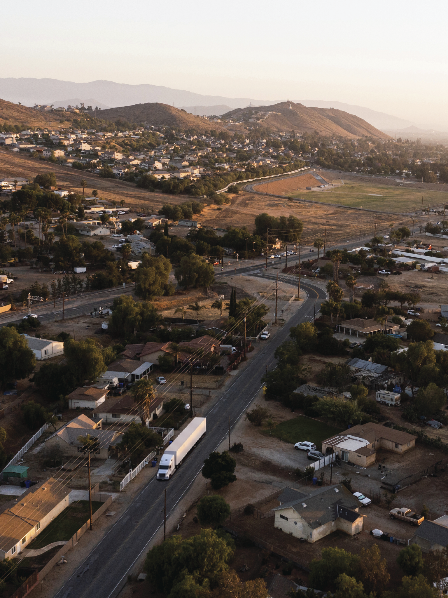
People experience freight at street level: a truck near a school, a delivery blocking a bike lane, a street carrying more heavy vehicles than it was designed for.
Many of today’s issues stem from tools built for an earlier version of freight:
- Regional models explain broad freight flows but rarely have sufficient data to estimate accurate truck volumes on local streets or answer local questions like queuing, staging, dwell times, or neighborhood spillover.
- Zoning codes often provide only one or two definitions for “warehouse,” making it challenging to distinguish a storage warehouse from a high-throughput fulfillment center, even though their impacts aren’t comparable.
- Public works or transportation departments often lead truck route designations, even though effective freight planning may also require input from planning, public works, engineering, economic development, and enforcement.
- Regional truck route planning has typically focused on roadway function without fully accounting for local land use implications or other modal priorities, such as high-frequency transit routes or major bikeways.
The Work Beyond Compliance
States are taking a more active role in how communities plan for the truck traffic associated with warehouse and distribution center growth, although their approaches vary.
California passed Assembly Bill (AB) 98 and Senate Bill (SB) 415, which require cities to designate and enforce truck routes and set new standards for warehouse development.
These laws change how California cities and counties designate truck routes. Designations are no longer limited to street classifications or engineering design of a roadway. Unlike in years past, they require input from public works and planning departments, as well as community input, land use analysis, and zoning review. The laws also back these requirements with costly penalties for noncompliance.
Pennsylvania and New Jersey have taken a different approach, using subarea land use plans to address logistics uses, including truck routing and truck parking. Their laws require increased analysis and apply some limits on warehouse locations, which takes truck routing into consideration without specifically defining where trucks can go after a facility is built.
Together, these examples show how states are responding to a broader gap: local planning frameworks and tools have not always kept pace with an evolving supply chain landscape that is altering warehousing as planners once knew it.
A truck route drawn to satisfy AB 98/SB 415 can still run past a school, still lack space to stage deliveries, and still conflict with a bike lane. Those conflicts rarely show up on a map alone. Truck counts show where trucks actually travel, and residents know which streets already feel the strain. Is more than half of a proposed truck route fronted by homes, schools, or parks? If so, are there other streets that provide access to truck-served businesses?
The law sets the minimum. Local urgency and what’s realistically within reach determine how far a city goes from there. Jurupa Valley, California, chose to go further. Here’s what that looked like.
How Jurupa Valley Turned a Deadline Into a Better Network
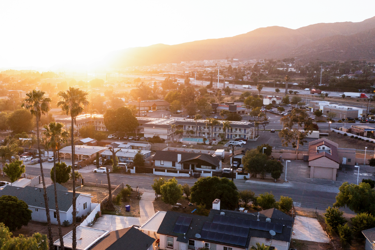
Since incorporating in 2011, the City of Jurupa Valley has balanced logistics growth with neighborhoods experiencing the truck traffic that came with it. Residents demanded action to address truck traffic on streets near their homes, schools, and parks. Many of these streets were never designed to handle large trucks.
The City’s General Plan Mobility Element allowed trucks on all roadways designed to carry them, an approach centered largely on roadway function. As market demand drove rapid warehousing growth, and as individual projects were designed and approved, the volume of trucks on city streets grew, and so did community concerns about how trucks interacted with surrounding land uses.
The City had already recognized the need for a more modern freight strategy. It applied for a Caltrans grant in 2022 and received the grant in 2024, with California passing legislation that established truck route requirements later that year. AB 98 then required Jurupa Valley and 13 other jurisdictions to amend their general plans with a map of compliant truck routes by January 1, 2026, or risk fines. That early start gave the City a foundation to respond quickly.
The stakes:
6 months
to amend the General Plan
2 entities to approve it:
Planning Commission and City Council
$50,000 in fines
every six months for a missed deadline
The City adopted an interim route to meet the deadline while continuing the analysis and engagement needed to refine the final network. Along the way, the team held a community meeting, used a web-based community survey, coordinated with neighboring jurisdictions, and held a joint Planning Commission/City Council workshop.
Engaging residents started with a clear picture of where trucks were actually traveling. We helped the City build it by combining new truck counts and truck GPS data, five years of collision history, and mapping against homes, schools, and nearby bicycle, pedestrian, and equestrian networks. That mapping showed where conflicts between freight and other transportation modes would be greatest.
Paired with community and industry input, the team scored every option against numerous criteria, two of them fundamental: no more than 50 percent of the length of each truck route could run directly past homes, schools, and other sensitive places, and each route still had to provide efficient freeway and highway access to truck-generating uses.
Everyone, from residents and industry representatives to the Planning Commission and City Council, worked from that same framework. That common ground helped the group reach alignment, a feat that is often difficult when responsibility is split across departments. Shared criteria gave everyone the same way to weigh tradeoffs behind each option.
The City met the state deadline to enact new truck routes, and our broader collaborative, data-driven approach also reduced exposure to truck traffic in residential areas and other sensitive areas. The plan connected truck trip generators to regional routes and concentrated truck activity on corridors better suited to handle large vehicles, achieving:
40%
reduction in designated truck route miles
60%
increase in truck weight-restricted routes
Source: Jurupa Valley Truck Route and Implementation Plan
Click and drag the slider to interact. Jurupa Valley’s initial truck network was widespread and cut through neighborhoods (left). After the City Council adopted an interim truck route in December 2025, community and industry feedback helped shape the updated route (right). The revised route was adopted on October 15, 2026.
A route can meet what’s required on paper without functioning the way it’s supposed to on the street. That’s why Jurupa Valley paired its network with pavement condition assessments, truck turning analyses, updated design standards, and a phased funding plan to make the routes work after adoption.
What Other Communities Can Take From the Approach
Jurupa Valley’s truck routes reflect its own freight patterns, street networks, land uses, resources, and community priorities. Other communities will reach different answers.
But the approach behind Jurupa Valley’s routes can apply in any community:
- Understand how freight actually moves
- Define what a good route needs to accomplish locally
- Test options against clear criteria
- Use community and industry knowledge to challenge assumptions
Together, those steps can help communities balance freight movement with local quality-of-life needs. Jurupa Valley used a legislative deadline as a starting point for that work, not the end of it.
If freight activity is creating new challenges in your community, we’d welcome the conversation.
share this article
Connect with our Contributors

Jolene Hayes
Principal
AICP
Email Me

Dan Andersen
Principal
Email Me

Tino Jonga
Freight Practice Leader
PE, PTOE
Email Me

Trevor Lien
Senior Planner
Email Me

Steve Loriso, PE
Deputy Director of Public Works/Assistant City Engineer
City of Jurupa Valley
Explore More

Cathleen Sullivan Joins Fehr & Peers
Our new Principal Cathleen Sullivan brings a practical, people-centered approach to transit and multimodal planning, helping Bay Area agencies turn complex ideas into progress.

Get a First Look at the Generative AI Policy Starter Kit
We helped develop a new Generative AI Policy Starter Kit through ITE. Explore the Quick Bite and ITE Journal article now, and stay tuned for the full kit.
Intern Perspectives: A Summer in Transportation
What does a transportation internship actually look like? This summer, 25 interns across 14 of our offices gained hands-on experience with fieldwork, street design, GIS, data analysis, visual communication, client work, and community engagement. See what they learned, what surprised them, and how the experience shaped the way they think about careers in transportation.