
Collaborating for Safer Solutions

Collaborating for Safer Solutions

Insightful analyses from these collaborative partnerships also allowed us to develop an important public-facing component of the City’s Vision Zero program, the El Paso Vision Zero online dashboard. The dashboard allows users to create custom visualizations based on attributes and factors that contributed to crashes in El Paso using data from a recent 5-year period. The dashboard includes options for users to explore an interactive map, a systemic safety approach to look beyond hot spots to understand the who, what, and when of crashes, or an option to explore El Paso’s High Injury Network to identify areas where investment can have the highest impact in reducing serious crashes.
–Joaquin Rodriguez, AICP
Transportation Planning Administrator, City of El Paso
share this article
Contributors

Emily Finkel
Associate Transportation Planner
RSP1
Email Me

Sean Reseigh
Senior Transportation Planner
GIS Specialist
Email Me

Mike Wallace
National Technology Solutions Leader
Email Me

Josh Peterman
Dallas Senior Market Leader
RSP1
Email Me
Explore More
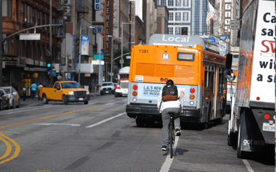
Bike & Bus Interaction on Our Streets
Bus operators and people on bikes often share road space, travel at similar speeds, and have very different sizes, making moving easily and safely an ongoing challenge. We recently partnered with LA Metro on a comprehensive review of bike/bus interactions in LA County, and together, developed a set of design and education recommendations that can help and may be applied anywhere in the United States. Take a look!
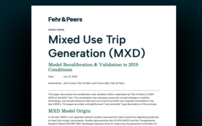
Recalibrating Our MXD Tool for Mixed-Use Trip Generation
This white paper outlines how our MXD modeling tool was recalibrated and validated with recent travel data and conditions.

Cincinnati Strategic Transit Study
Check out the study to better understand how demand-responsive transportation services (ride-hailing, flexible transit) currently fit into the Cincinnati transportation system and their potential role to complement fixed-route transit services.