
Collaborating for Safer Solutions
Collaborating for Safer Solutions
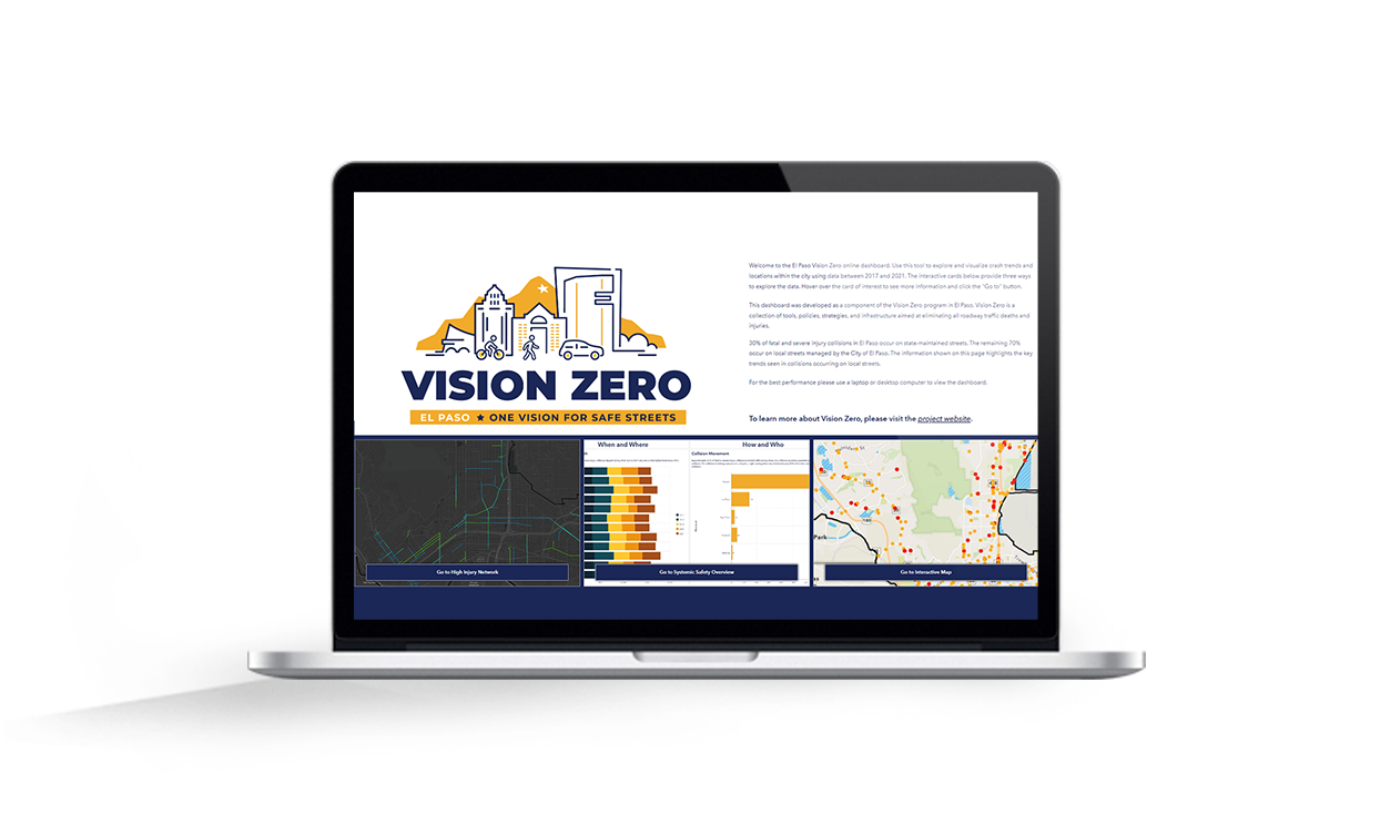
Insightful analyses from these collaborative partnerships also allowed us to develop an important public-facing component of the City’s Vision Zero program, the El Paso Vision Zero online dashboard. The dashboard allows users to create custom visualizations based on attributes and factors that contributed to crashes in El Paso using data from a recent 5-year period. The dashboard includes options for users to explore an interactive map, a systemic safety approach to look beyond hot spots to understand the who, what, and when of crashes, or an option to explore El Paso’s High Injury Network to identify areas where investment can have the highest impact in reducing serious crashes.
–Joaquin Rodriguez, AICP
Transportation Planning Administrator, City of El Paso
share this article
Contributors

Emily Finkel
Associate Transportation Planner
RSP1
Email Me

Sean Reseigh
Senior Transportation Planner
GIS Specialist
Email Me

Mike Wallace
National Technology Solutions Leader
Email Me

Josh Peterman
Dallas Senior Market Leader
RSP1
Email Me
Explore More
Demand Management Is Injury Prevention
New research shows that reducing driving exposure may be one of the most powerful safety strategies available. The findings connect VMT, mode share, and travel time to fatality rates, reframing demand management as injury prevention.
The City That Knows How to Say Yes
What does it take for a city to say “yes” without giving up control? This perspective argues for a conditional, public-minded yes, one grounded in clear standards, evidence, and measurable outcomes, with AVs as one example of a much broader governance challenge.

Dan Andersen Joins Fehr & Peers
Meet Dan Andersen and learn how he helps communities navigate freight challenges through practical, people-focused transportation solutions.