by Fehr and Peers | Jul 29, 2026 | Insights, Resources
Making streets safer takes more than individual projects. Our new Safe System approach toolkit, developed through NCHRP Research Report 1181, helps agencies integrate safety into policies, budgets, design standards, and land use decisions. Explore practical tools, real-world case studies, and new IIHS Safe System success stories that show how agencies are turning safety into standard practice.

by Fehr and Peers | Jul 20, 2026 | Insights, News
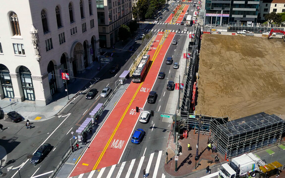
What do San Francisco’s Van Ness BRT, New York’s congestion pricing, and Arlington’s intersection program have in common? Each pulls all three Safe System levers at once. We call that pattern a safety multiplier.
by Fehr and Peers | Jun 23, 2026 | Insights
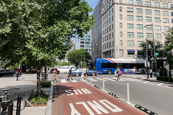
What does it take for a city to say “yes” without giving up control? This perspective argues for a conditional, public-minded yes, one grounded in clear standards, evidence, and measurable outcomes, with AVs as one example of a much broader governance challenge.

by Fehr and Peers | Jun 16, 2026 | Insights, Resources
Truck parking shortages create safety, operational, and community challenges near freight facilities. A new NCHRP guide offers planning strategies, model regulations, case studies, and implementation tools to help communities address truck parking before issues spill onto local streets.
by Fehr and Peers | Jun 3, 2026 | Insights, Resources
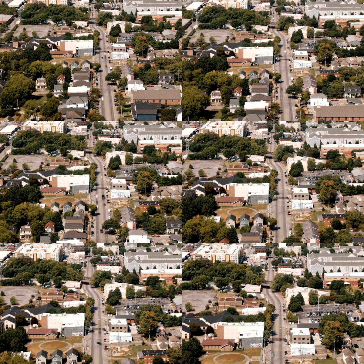
Our Mixed-Use Development (MXD) tool just got its biggest update in more than a decade. Built on expanded national research and updated ITE trip rates, the 2026 release delivers more accurate, context-sensitive trip estimates for mixed-use places, including validation using post-COVID field counts.
by Fehr and Peers | May 29, 2026 | Insights
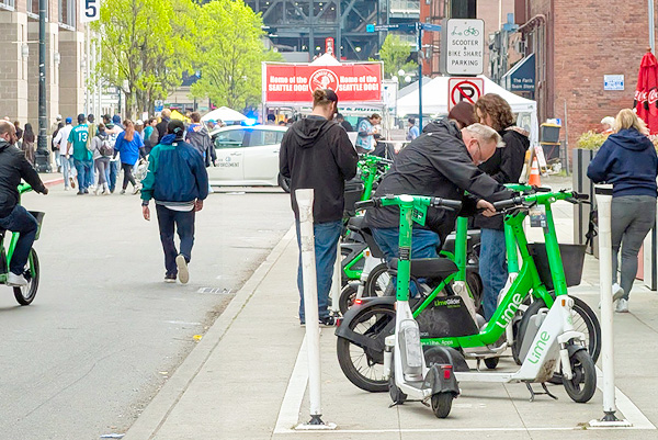
Micromobility is growing, but when scooters and bikes have nowhere obvious to park, sidewalks suffer. Seattle tackled this with quick-build corrals, using simple outlines to guide parking right away, then upgrading to durable markings and in-street designs. See how we helped screen sites, refine locations in the field, and scale for daily use and major events.