
VMTIndex Now Reaches Communities Nationwide

We’re excited to announce that VMTIndex is now available in many of the cities and counties we serve across the US, expanding access to our vehicle miles traveled (VMT) analysis tool beyond California.
Formerly known as VMT+, VMTIndex provides real-world travel data at the Census Block Group level. This web-based dashboard gives transportation professionals local insights to better analyze travel patterns and assess VMT impacts. Newer datasets are also available through our consulting services.
Try VMTIndex for Yourself
Experience VMTIndex firsthand. Visit the Find Your VMT page to explore the tool and see how it can support your projects.
Have questions or need help assessing VMT impacts in your area? Contact our team to learn more.
share this article
Explore More
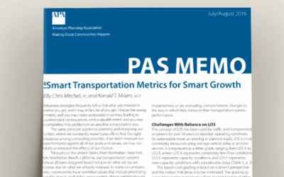
Still Getting Trip Generation Right: Revalidating MXD+
State-of-the-practice analytical methods should be employed when estimating the trip generation of mixed-use projects. In the latest issue of the American Planning Association’s PAS Memo, John Gard and Corwin Bell of Fehr & Peers describe the advantages, analysis techniques, and use of MXD+ through actual site case studies.

Evolving Visual Communications in a Dynamic World
Partnering with our client, we took on new visual communications strategies through the lens of equitable engagement to elevate participation and build energy around safety improvements.

Infrastructure Projects & Greenhouse Gas Emissions
Can freeway infrastructure projects have a greenhouse gas emission benefit by improving travel speeds and reducing tailpipe emissions? Explore the corridor level results of three project case studies using different modeling approaches.