
VMTIndex Now Reaches Communities Nationwide

We’re excited to announce that VMTIndex is now available in many of the cities and counties we serve across the US, expanding access to our vehicle miles traveled (VMT) analysis tool beyond California.
Formerly known as VMT+, VMTIndex provides real-world travel data at the Census Block Group level. This web-based dashboard gives transportation professionals local insights to better analyze travel patterns and assess VMT impacts. Newer datasets are also available through our consulting services.
Try VMTIndex for Yourself
Experience VMTIndex firsthand. Visit the Find Your VMT page to explore the tool and see how it can support your projects.
Have questions or need help assessing VMT impacts in your area? Contact our team to learn more.
share this article
Explore More

Zeroing in on Transformative Trends
Read about how our in-house scenario planning tool, TrendLab+, is supporting community planning in the Pacific Northwest.

Planning in Spanish
As communities become increasingly diverse, it is essential that planning processes are inclusive. Read about an immersive Spanish-first approach used for this recently developed Community Based Transportation Plan.
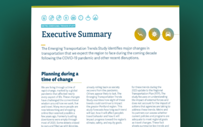
Metro Emerging Trends Study
Utilizing the TrendLab+ scenario planning tool, the study assesses the short- and long-term impacts of these trends on vehicle miles traveled (VMT), transit usage, safety, and equity within the Portland region, providing insights to inform the 2023 Regional Transportation Plan update.