

Analyzing travel accessibility serves as an important way to measure how well current transportation networks connect us to our desired destinations. It also exposes potential modal (walking, biking, etc.) or equity limitations that may be causing difficulties for some users or geographic areas. Therefore, accessibility analysis becomes an important tool in effective planning to provide all users with adequate access to jobs, education, and activity centers. It also provides important insight into adaptability for future infrastructure, land use planning, and transit options.
Learn more in this quick travel access video:
A Holistic Approach
Traditional regional planning has generally focused travel access on single, specific modes, such as driving. When only looking at driving, mobility has been primarily considered in terms of time and how long it will take to get there. However, those individuals who don’t have access to vehicles (and therefore cannot travel by car) may also be concerned with the distance to their destination and the barriers they may encounter along the route. To account for the varied concerns and needs experienced by people using all modes of travel, a more equitable and holistic planning approach becomes critical.
For meaningful accessibility analysis, planners can develop accessibility maps to illustrate differences in access to destinations by modes and across demographic and socioeconomic characteristics. Since transportation options (i.e., transit frequency) and traffic congestion can vary significantly by time of day or day of the week, the maps may measure the distance, time, or level of effort someone can travel to and away from a specified location in a certain period of time and at various times of day—and all for different modes.
Inclusive Insight
Fehr & Peers recently measured accessibility and mobility across multiple modes in Sacramento, California. The study included biking, walking, traveling by public transit (with wheelchair), and driving. We created travel time “sheds” (access areas) for each travel mode. To help demonstrate differences across the modes, we produced a map of each mode’s travel time sheds showing the distance one can travel to/from the Sacramento Valley Station, which is a key destination for gaining access to the rest of the region. This multimodal approach provided a clear picture of the substantial difference in travel time and distance across modes. Travelers with vehicle access can travel a much greater distance—and therefore access a larger number of destinations—within the same amount of time than the other modes. This difference is so great, it raises questions about how to create more equitable travel outcomes for those that do not own or have access to a vehicle, especially in the lower-income and lower-density neighborhoods.


The Sacramento study illustrates how inclusive insight into travel access provides the opportunity to look at planning with an eye for the transportation options and futures of all travelers in the community, whatever way they may get there. Evaluation and visualization of accessibility and mobility are critical for understanding impacts and providing equitable transportation. This holistic view becomes immensely beneficial when considering how travel access works today and how it may change over time.
Do you have travel access questions we can help you answer?
share this article
Explore More
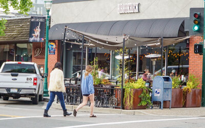
Coordinating the Curb, Not Just Reacting to It
Walnut Creek’s curbside management plan took them from reactive fixes to a more coordinated, goal-driven framework for their suburban downtown. Here’s what changed, and what other agencies can learn from it.
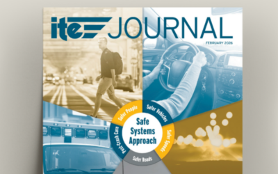
Rethinking Street Design for Safety and Emergency Access
This February 2026 ITE Journal article shows how connected street networks and cross-department collaboration can help communities balance everyday safety with reliable emergency access.
Deepening Our Commitment to Safer Streets Nationwide
We’re excited to share that Safe Streets Research + Consulting is now part of Fehr & Peers.