
Collaborating for Safer Solutions

Collaborating for Safer Solutions

Insightful analyses from these collaborative partnerships also allowed us to develop an important public-facing component of the City’s Vision Zero program, the El Paso Vision Zero online dashboard. The dashboard allows users to create custom visualizations based on attributes and factors that contributed to crashes in El Paso using data from a recent 5-year period. The dashboard includes options for users to explore an interactive map, a systemic safety approach to look beyond hot spots to understand the who, what, and when of crashes, or an option to explore El Paso’s High Injury Network to identify areas where investment can have the highest impact in reducing serious crashes.
–Joaquin Rodriguez, AICP
Transportation Planning Administrator, City of El Paso
share this article
Contributors

Emily Finkel
Associate Transportation Planner
RSP1
Email Me

Sean Reseigh
Senior Transportation Planner
GIS Specialist
Email Me

Mike Wallace
National Technology Solutions Leader
Email Me

Josh Peterman
Dallas Senior Market Leader
RSP1
Email Me
Explore More
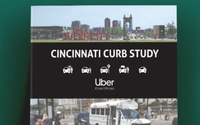
Cincinnati Curb Study
In Cincinnati, as in many cities, curb space is a scarce resource. With multiple modes of transportation vying for access to the curb — from personal vehicles, buses, commercial vehicles and rideshare vehicles, to bicycles and pedestrians — Cincinnati has joined the ranks of cities around the world that are looking for ways to make curb space safer and more efficient.
Tools Assessment Technical Memorandum
We identified three travel forecasting models and 11 sketch planning tools that produce VMT forecasts or test VMT reduction strategies.

Pedestrian Crossings
Learn how the evolution of crossing treatments, guidance, and travel behavior is critical to addressing quality of life challenges and meeting expectations for those who walk.