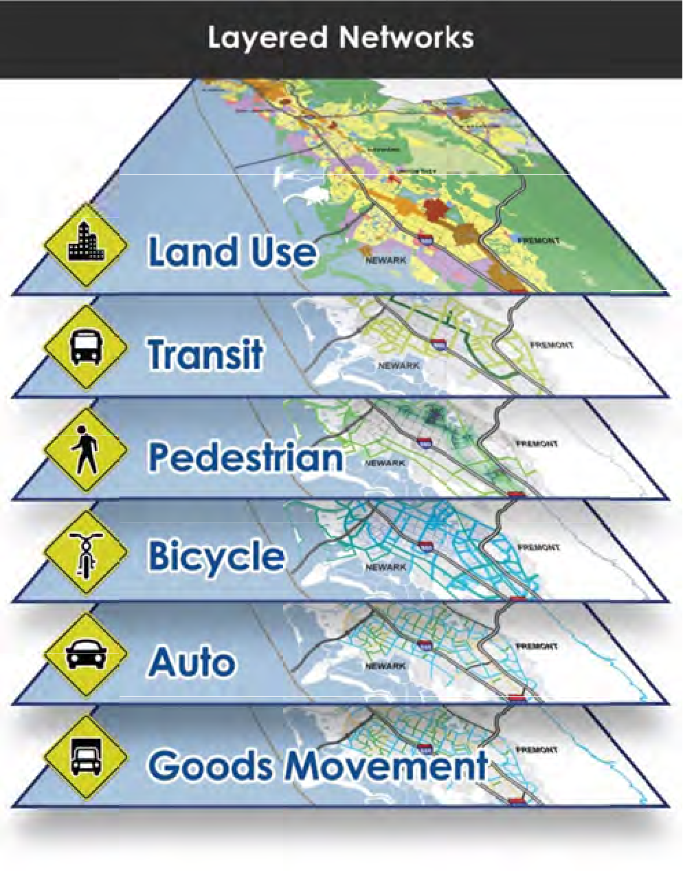
Layered Networks
A decade into the complete streets era, there is still a lot of subjectivity about what represents a complete street. However, some important progress includes work that quantifies the productivity of various curb uses (spoiler: long term parking is least productive), a now-irrefutable body of evidence supporting road diets, an increasing emphasis on safety, and one of the most useful advances is codified in the Institute of Transportation Engineers’ Planning Urban Roadway Systems — layered networks.
As this publication turns five years old, the layered network concept it presents is now put into practice in Alameda, CA; Burien, WA; Dallas, TX; and Detroit, MI. It’s also presently being integrated into plans for the Detroit metro area and City of Salt Lake. In a transportation system of layered networks, individual travel modes are assigned to different segments of the overall network, in order to reduce the potential conflict inherent in trying to design all roadways for all uses. Various modal layers can be overlaid to create a logical roadway network that can realistically and safely accommodate all travel modes. When considering layered networks and complete streets, they identify three key premises:
Identify the Primary Mode(s)
You can’t develop complete street designs until you have identified the primary use of a street.
Use a Network Approach
Travel choices are about providing multimodal networks. Identifying streets with the same primary use makes it possible to build a great design for that use (as opposed to average design for all uses).
Performance Measures Count
If you don’t count it, it doesn’t count. Performance measures should sync with the street’s primary use. If it’s a transit priority street, transit travel time, reliability, and quality of amenities is the most important measures of success.
With these premises in mind, it is essential to limit auto level of service analysis to streets for which the movement of autos is a priority. Just this shift in perspective makes multimodal expansion more viable. Accommodating all travel modes including autos — dominant in most of the US — does not have to be a battle for street space or people who make individual travel choices that best suit their needs. We can build great networks for all modes if we take a layered network approach.
Disclosure: The layered network concept has many applications but works best in grid street systems with redundancy. Some roadway systems like disconnected suburban systems might be capable of assembling into a grid. If not, this isn’t a good candidate for layered networks.
Learn more by contacting one of our industry experts.
Quick Links
© 2017 – 2024 Fehr & Peers. All rights reserved.


