
Collaborating for Safer Solutions

Collaborating for Safer Solutions

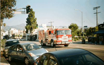
Insightful analyses from these collaborative partnerships also allowed us to develop an important public-facing component of the City’s Vision Zero program, the El Paso Vision Zero online dashboard. The dashboard allows users to create custom visualizations based on attributes and factors that contributed to crashes in El Paso using data from a recent 5-year period. The dashboard includes options for users to explore an interactive map, a systemic safety approach to look beyond hot spots to understand the who, what, and when of crashes, or an option to explore El Paso’s High Injury Network to identify areas where investment can have the highest impact in reducing serious crashes.
–Joaquin Rodriguez, AICP
Transportation Planning Administrator, City of El Paso
share this article
Contributors

Emily Finkel
Associate Transportation Planner
RSP1
Email Me

Sean Reseigh
Senior Transportation Planner
GIS Specialist
Email Me

Mike Wallace
National Technology Solutions Leader
Email Me

Josh Peterman
Dallas Senior Market Leader
RSP1
Email Me
Explore More
Evacuation Travel Time Analysis
The ability for a community to evacuate quickly continues to be a top priority for agency staff in California. Learn about our Climate Group’s proactive research to address new CEQA requirements for producing evidence-based evacuation travel time analysis for land use projects.

Prioritizing People in Multimodal Design
Discover how one city is redesigning their streets to make experiencing destinations safer and more enjoyable, and how their process and design typology can be adapted to streets across the US.

Quantifying VMT Reduction
How can transportation agencies reduce overall vehicle miles traveled and still generate revenue? In a recent study, we evaluated the impact of making transit free of charge compared to implementing a VMT tax and whether the costs for travelers is equitable.