
Richmond Highway Bus Rapid Transit System
Fairfax County, VA
Fehr & Peers DC is preparing transit ridership and vehicle demand forecasts for the Richmond Highway Bus Rapid Transit (BRT) System, a nine-mile median-running BRT system that will connect the terminal station of Metrorail’s Yellow Line at Huntington on the north end to Fort Belvoir at the south. In partnership with the Richmond Highway BRT Partners and the Fairfax County Department of Transportation, we’re working to understand ridership implications for the new route and for Federal Transit Administration (FTA) New Starts funding: What may ridership look like in the 2028 interim year and the 2040 future year?
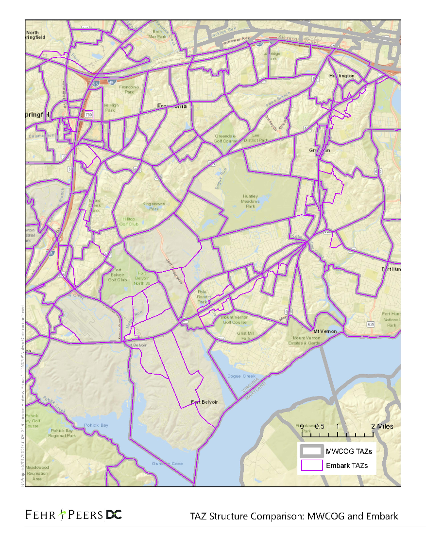
Due to the complex interaction of Embark Richmond Highway, a comprehensive corridor land use program update with multiple modes and multiple transit services in the Washington Metropolitan Area, the forecasting for this project requires innovative and insightful application of multiple modeling tools and resources. To meet these needs, we are locally refining the Metropolitan Washington Council of Governments (MWCOG) regional travel demand model and collaborating with the FTA in applying its Simplified Trips-on-Project Software (STOPS), a modeling tool developed by the FTA to standardize transit project evaluation. STOPS uses origin-to-destination travel information from Census Journey-to-Work data and transit timetable data in General Transit Feed Specification (GTFS) format to quickly estimate ridership on existing or new transit lines. To forecast future year ridership, STOPS relies on demographic growth projections from local Metropolitan Planning Organizations (MPOs) and GTFS representations of transit services that will exist in the future. Our project-specific STOPS transit ridership forecasts will be incorporated into the MWCOG model process, and we are preparing holistic project measures of effectiveness that go beyond transit ridership for broader project insight.
Key Highlights
Integrating Multiple Advanced Forecasting Techniques: We are bringing our innovative big data and forecasting and operations expertise to a region with complex transit interaction characteristics, which poses new challenges to forecasting accuracy. Our approach includes coordination with the FTA on preparing an effective STOPS model for project transit ridership and refining the MWCOG model using data from STOPS and a wide range of primary sources to estimate vehicle demand beyond the corridor.
Developing Holistic Measures of Effectiveness: Our project measures of effectiveness not only address transit ridership and local traffic impacts, but also local and regional mode shares, auto and transit accessibility, and vehicle and person miles and hours traveled (VMT, PMT, VHT, PHT) for additional perspectives on project costs and benefits.
Community Focus
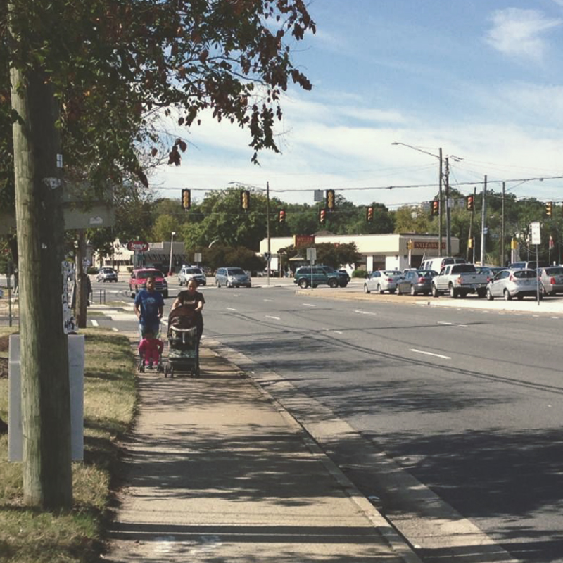
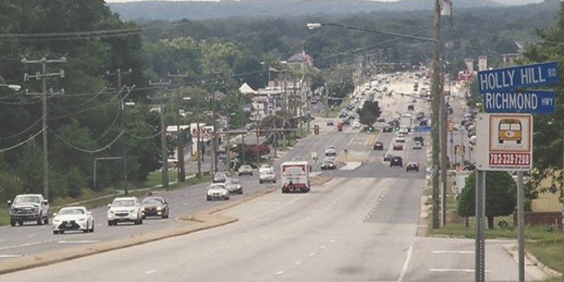
Collectively through our partnerships, we are working to make the Route 1 corridor more multimodal by adding high-quality public transit to a corridor that has historically experienced high levels of vehicle congestion. The Richmond Highway Bus Rapid Transit System will bring more mobility options to community members traveling along the corridor and anticipate the needs of a growing community poised for rapid transformation.
Interested in learning more about STOPS modeling or the Richmond Highway BRT System? Ready to talk about how our forecasting and data science expertise can help with your community’s project? Please contact us to learn more.
Quick Links
© 2017 – 2024 Fehr & Peers. All rights reserved.